
A map made of journeys
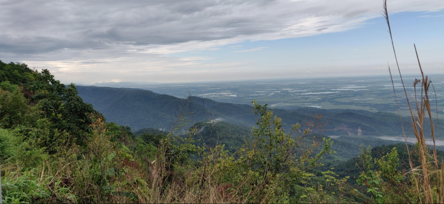
I would not sell Northeast India as a five-day checklist. The map is too folded, the roads too weather-sensitive, and the places too alive to be reduced to viewpoints between flights. Instead, I imagine returning in linked journeys: Assam as the riverine beginning; Meghalaya as a rain-shaped walking chapter; Arunachal Pradesh as a sequence of mountain roads; and Mizoram, Nagaland, Sikkim and North Bengal as separate, generous arcs. Some transfers belong to daylight, some require permits and local guides, and several deserve a recovery day simply because walking, weather and conversation are part of the experience.
Guwahati is the useful gateway for much of Assam and Meghalaya; Dimapur opens Nagaland, Bagdogra or New Jalpaiguri serve Sikkim–Kalimpong, and Dibrugarh or Tinsukia lead toward eastern Assam and Arunachal. Arunachal requires an Inner Line Permit for Indian visitors and a Protected Area Permit route for foreign nationals; Mizoram and Nagaland have their own formalities. Check official portals shortly before travel and build buffers for landslides, snow, ferry changes and forest closures.
Assam: water, food and the patient art of looking
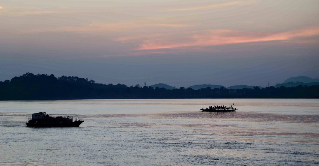
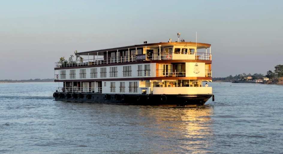
I like to begin beside the Brahmaputra in Guwahati, where the river makes the city feel briefly spacious. A licensed cruise, if conditions and the day’s schedule allow, turns the first morning into a study of wind, shifting banks and birdlife rather than a rushed sightseeing ride. Back on land, a market or locally hosted food walk can introduce Assam through rice, greens, fish, khar, sour tenga and Assamese lemon. Jolpaan, the rice-based breakfast and snack tradition, is a reminder that a cuisine is also a rhythm of mornings, not only a list of dishes.1
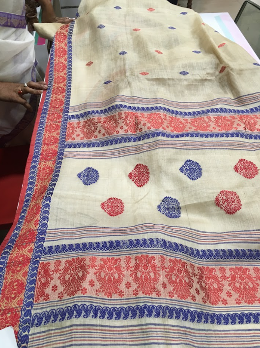
I would ask before photographing a vendor, buy something modest, and let the seller explain what is seasonal. In an official craft outlet such as Pragjyotika Assam Emporium, the same ethic applies: ask who made a mekhela chador, gamucha, jaapi or silk textile, and pay a fair price. Assam’s Eri and Muga silks, bamboo and cane work, bell-metal objects and community textiles are not decorative shorthand for a region; they are skilled livelihoods.2
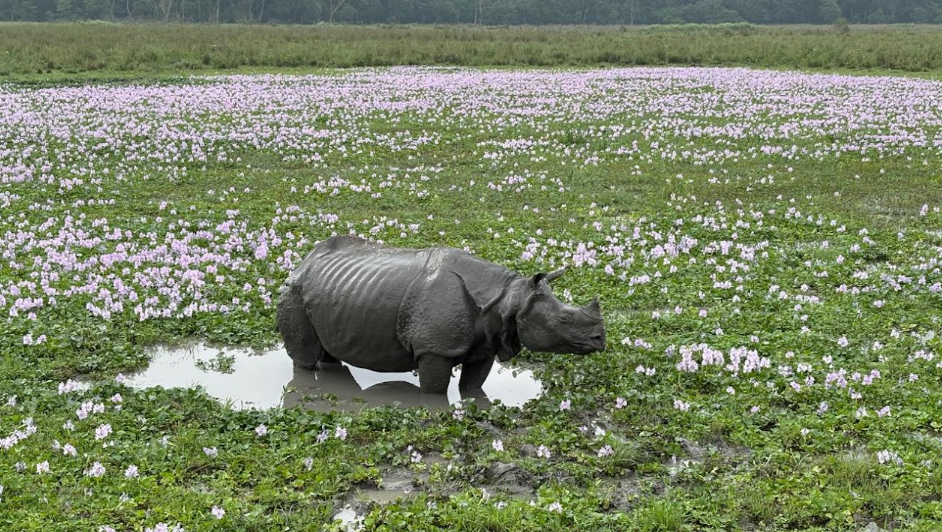
Then comes Pobitora, an easy companion to Guwahati as a day trip or overnight. Its alluvial grassland, wetland, woodland and water bodies support one of the world’s densest populations of one-horned rhinoceros, while the Forest Department records 375 resident and migratory bird species.3 In a permitted jeep safari with a licensed naturalist, the pleasure is the waiting: grass bending, a wetland opening, a bird lifting from reeds. A rhino may appear; it is never a promise. No feeding, calling or chasing should be part of the story.
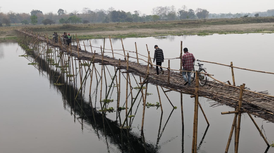
A second Assam journey can turn east and become slower. From Jorhat, the ferry to Majuli crosses a broad, changing river horizon; the district administration notes that erosion has altered the island and displaced satras, so this is not a timeless island idyll.4 At Samaguri Satra, generations of mask-making have given bhaona’s characters their colour and form. Bamboo, clay and paint sit in a workshop where theatre’s backstage becomes visible. I would arrange the visit through a host or recognised guide, ask before entering sacred or working spaces, and buy directly when a maker invites it.

Majuli’s handloom traditions—gamocha, mekhela chaddar, Mising garments, Eri and Muga—make a natural continuation. The ferry timetable and river conditions must be confirmed on the day, and a spare night is wise. In Balipara, tea-country roads lead toward the Eastern Himalayan Botanic Ark and community-oriented experiences such as a pre-arranged tea walk or kitchen visit. The point is not to stage a “tribal” scene, but to notice how conservation and rural livelihoods can share a verandah, a garden and a meal.5
Meghalaya: rain, root and the living market
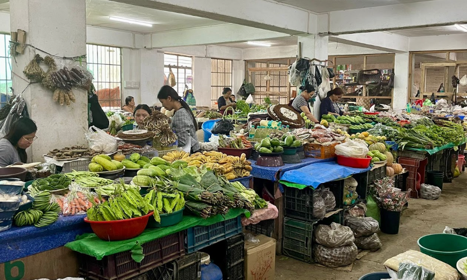
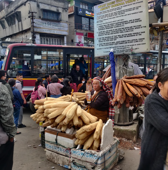
Shillong begins with Iewduh, approached as a living landscape rather than a photo stop. Covered lanes fill with produce from the Khasi Hills, conical baskets, spices, vegetables, meat and wholesale goods; the aromas change as one moves from dried fish to tobacco leaves. Meghalaya Tourism identifies it as the region’s largest traditional bazaar and recommends a daytime visit with sturdy shoes.6 I would go with a resident-led walk, buy a prepared dish or a small amount of produce, and ask about ingredients and seasonal trade. The market does not need an audience performing surprise.
For a quieter cultural encounter, I would make an appointment with a Shillong textile outlet such as Kiniho or Muezart. Ryndia, or Eri silk, is made from castor-fed silkworms; the yarn is spun rather than reeled, and much of the rearing, weaving, dyeing and marketing is carried by women.7 The meaningful souvenir is one whose maker and process I understand—and whose price has not been argued down for sport.
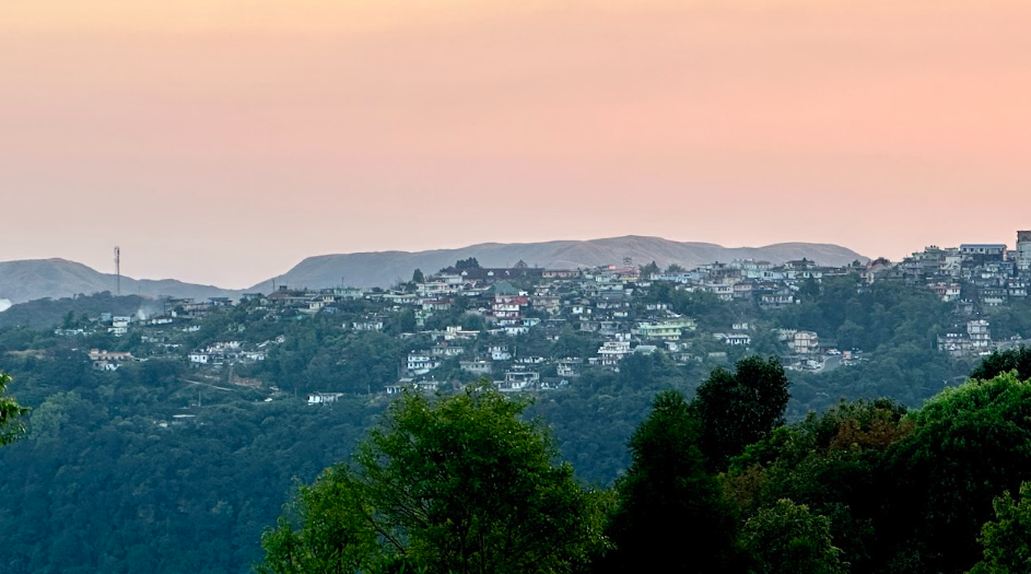
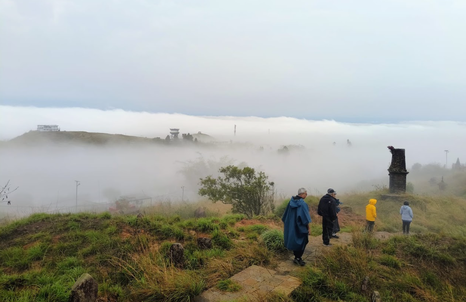
The road from Shillong to Sohra is a transition from cloud to water. At Nohkalikai, the 340-metre plunge falls from a plateau into a rain-fed pool, a scale that makes silence feel appropriate.8 Monsoon may bring the greatest flow, but visibility, slippery ground and landslide risk demand distance; scenic water is not automatically safe for swimming.
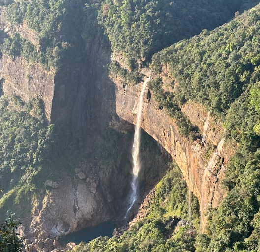
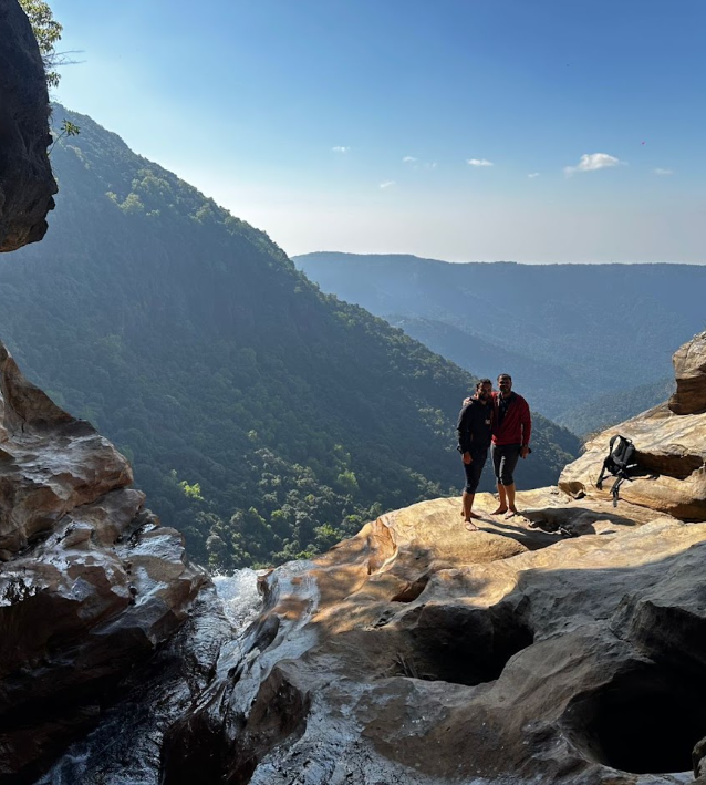
Nongriat is a separate walking day, not an add-on. From Tyrna, a local guide helps with the route, language and weather as the trail drops roughly 3,000–3,500 steps through forest toward the Double-Decker Living Root Bridge. Khasi communities have grown Ficus roots into bridges and other connectivity structures across more than 75 villages, a practice described by UNESCO as both infrastructure and livelihood in extreme-rainfall terrain.9 The bridge is most moving when read as working cultural knowledge: living material, repeated care, and a village route. Rainbow Falls can extend the walk, but daylight and fitness should decide. Carry out waste, ask before photographing homes or residents, and leave recovery time for the climb back.
Garo Hills: forest, memory and restraint
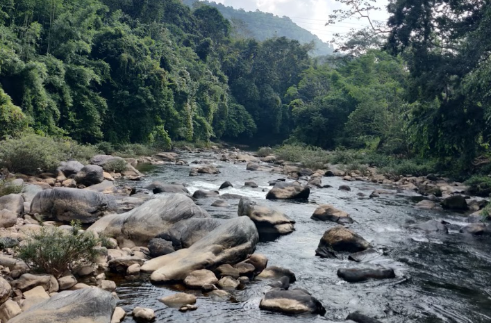
The western and southern Garo Hills need their own road-based journey. Chandigre, around 30 kilometres from Tura and near Nokrek, offers a gentler base: bamboo homes, flower-lined paths, orchards, tea and coffee plots, and a traditional-style long house.10 Through a community host, I would follow the movement between orchard, kitchen and forest edge—perhaps honey, fruit or a seasonal rice preparation—without expecting a demonstration. A Nokrek walk is about citrus, bamboo, moss and a guide’s plant knowledge, not guaranteed wildlife.
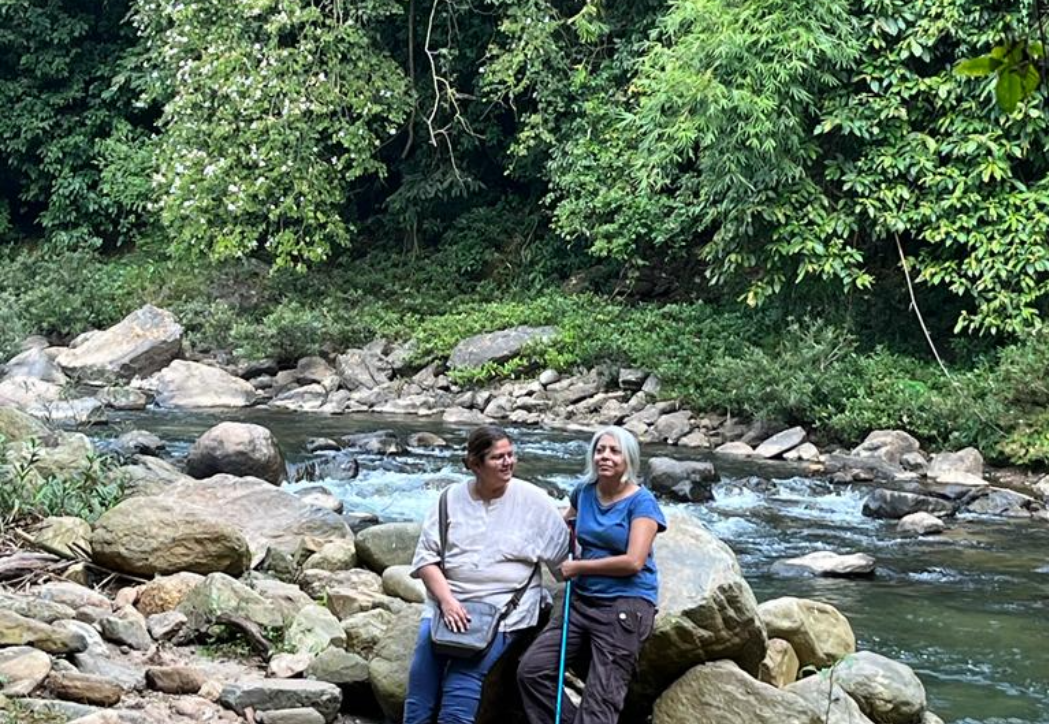
Nokrek is the core of an 820-square-kilometre biosphere reserve, with a Citrus indica gene sanctuary in its buffer.11 That makes a local citrus story a conservation conversation, not merely a tasting note. Farther south, Balpakram is more remote and should be approached via Baghmara with an arranged jeep, guide, food and accommodation. Its plateaus, limestone, gorges and forest carry strong Garo spiritual meaning; the landscape is described as a resting place of spirits before rebirth.12 Wind over a gorge deserves quiet observation, not climbing for a photograph or turning sacred geography into an adventure prop. October to March is generally the more workable season, but roads and trails still need local confirmation.
Arunachal: mountain roads and working landscapes
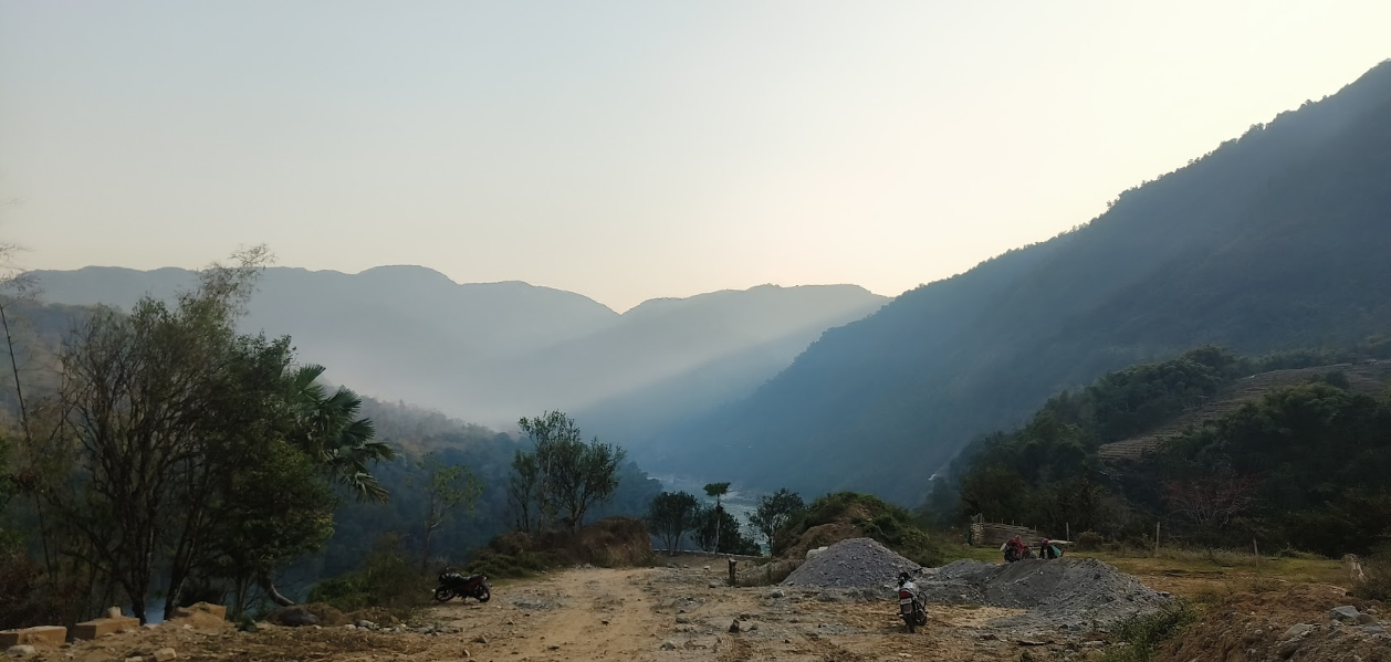
Arunachal is best understood as several journeys. Dirang, reached overland through Assam and Bomdila, is a graceful first chapter: orchards, Sangti Valley, hot springs and the National Research Centre on Yak. Thembang, a fortified Monpa village on UNESCO’s Tentative List rather than a World Heritage Site, has cobbled paths and traditional stone houses.13 A local guide makes it possible to see the settlement as a living community rather than a set.
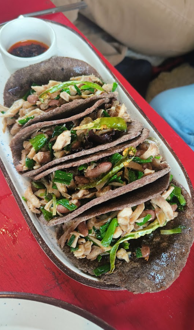
Food gives the valley its own grammar. Maize and millet can become flour; yak milk becomes chhurpi and ghee; old chuskor water mills turn water and stone into useful work. A documented Chug Valley revival of native grains and forest produce shows how culinary heritage can support conservation and local income, though any heritage meal must be booked and confirmed rather than imagined into an itinerary.14
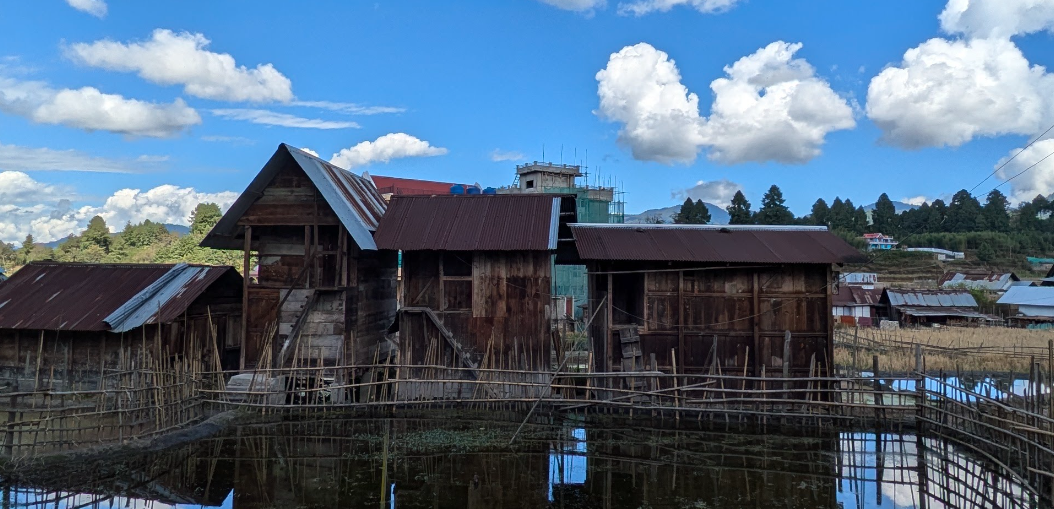
Ziro is another complete trip. On its plateau, irrigation channels thread wet-rice terraces where fish are reared and millet grows on raised bunds. The Apatani cultural landscape is on UNESCO’s Tentative List, and its ingenuity is most legible at walking pace: water, rice, fish, labour and village life forming one system.15 A host or guide can arrange a respectful field walk around settlements such as Hong, Hari, Hija or Bula; never step into plots or homes uninvited. Pila, a traditional alkaline food additive, is an invitation to ask about preservation and flavour, not to assume a particular dish.
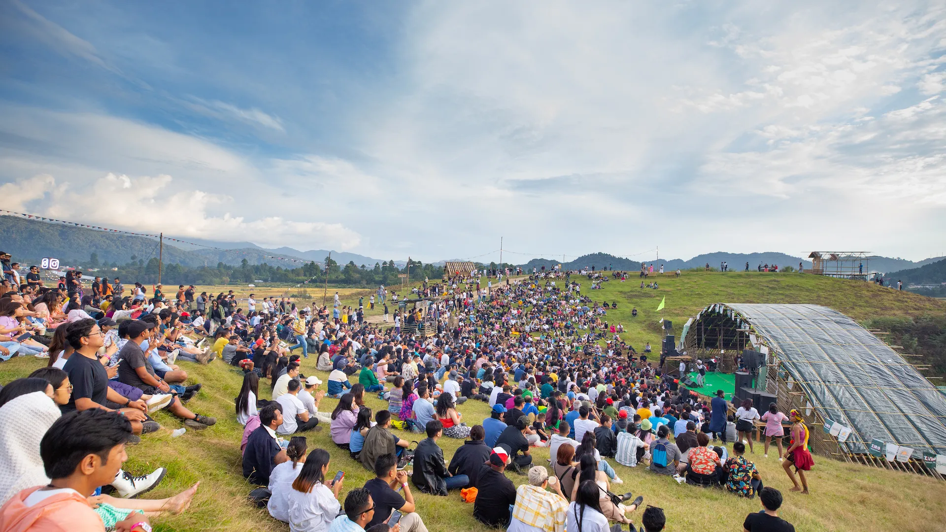
The Ziro Festival adds another layer, with independent music, bamboo stages, local food and crafts, but dates and programmes change. Talley Valley requires a guide, current route information and realistic fitness. On both trips, Indian visitors need an eILP; foreign visitors should confirm the current protected-area process. Rain can close roads, and winter changes the feel of every walk.
Farther east, a seven- to ten-day corridor can run from Dibrugarh or Tinsukia through tea country, Dibru-Saikhowa, Namsai and Tezu. Tea here has a deeper pre-plantation history: Assam Tourism records that Singpho communities used tea as a herbal drink before colonial estates.16 Tea rows then give way to Dibru-Saikhowa’s wet mosaic of forest, canebrake, grassland and swamp, bounded by great rivers. A forest-authorised guide should lead any wildlife outing.
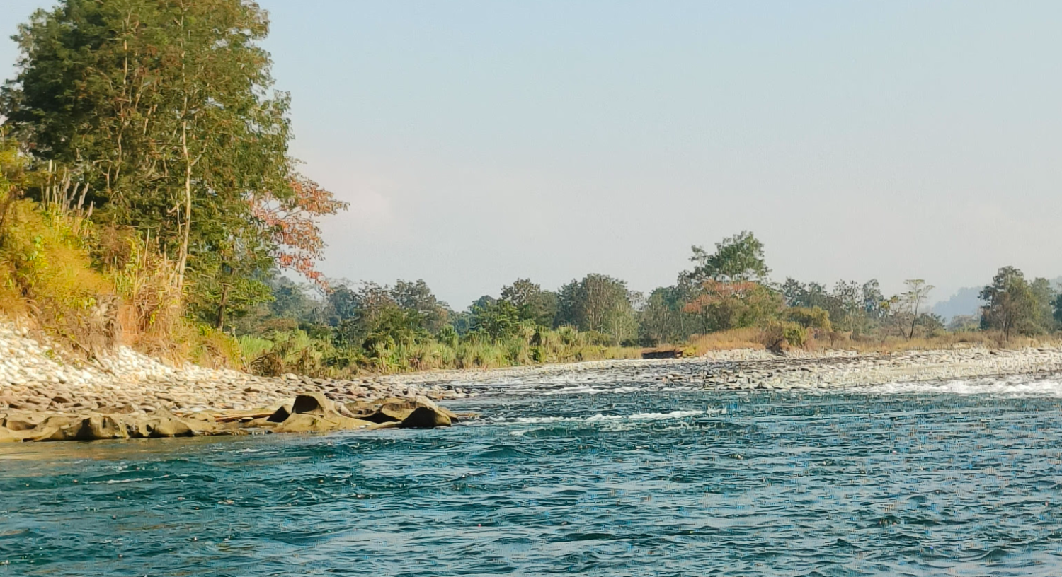
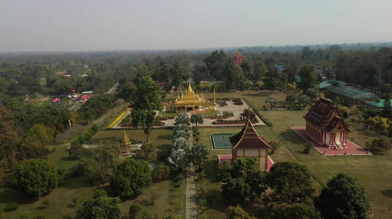
Namdapha is not a casual day excursion. From Miao, the road to Deban runs through a forest stretch threaded with streams, falls and gorges beside the Noa-Dihing; the park covers 1,985.23 square kilometres on the Myanmar border.17 Arrange permits, transport, accommodation and guides in advance, preferably using daylight for the road. Namsai’s Buddhist monasteries and Tai Khampti heritage, followed by Tezu beside the Lohit, make a gentler cultural counterpoint to wilderness. Ask hosts to distinguish Khampti, Singpho, Tangsa and other traditions rather than flattening them into one label.
The western and southern arcs
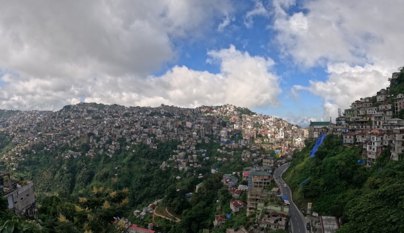
Mizoram deserves a dedicated visit. In Aizawl, I would plan a manageable hill walk from Zarkawt toward the State Museum, leaving room for gradients, rain and a food stop. The museum supplies context; the street supplies texture. In Thenzawl, 43 kilometres away, handloom is not an occasional craft display: a government survey recorded more than 2,000 looms and nearly 1,850 weavers in one six-month period.18 Arrange access through a host or complex, ask before photographing looms, and buy a puan or shawl with an explanation of its use.
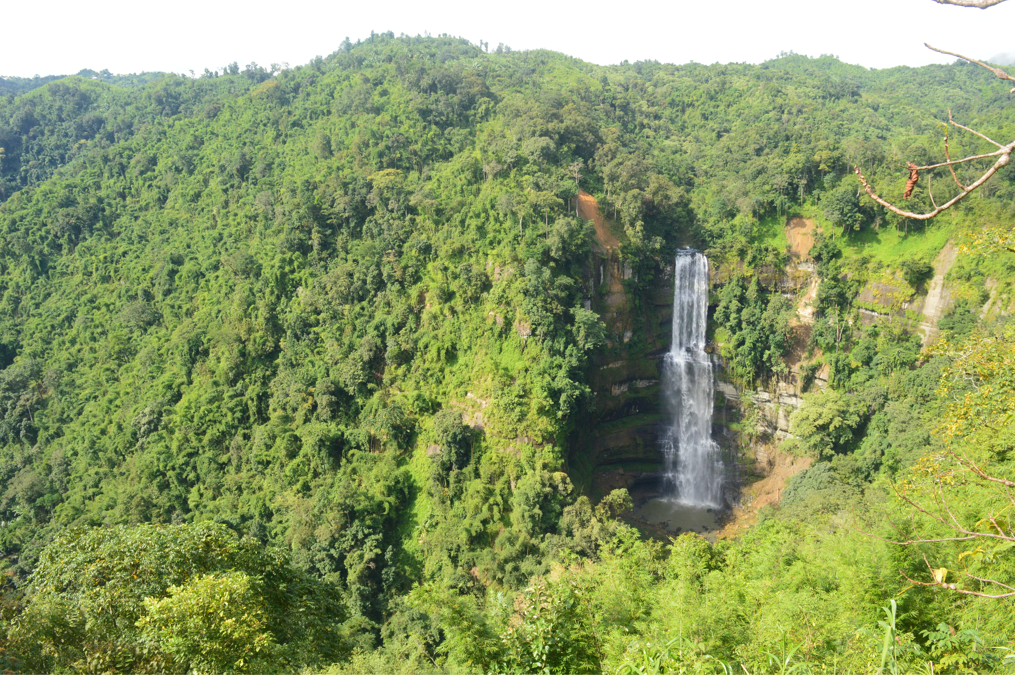
Vantawng Falls and nearby attractions can fill a separate day, with a local driver and weather buffer. September to April is generally the more favourable window; monsoon rain can bring landslides. Domestic visitors need an Inner Line Pass, while foreign visitors should confirm the Protected Area Permit process. A homestay is hospitality, not an open invitation to document family life.
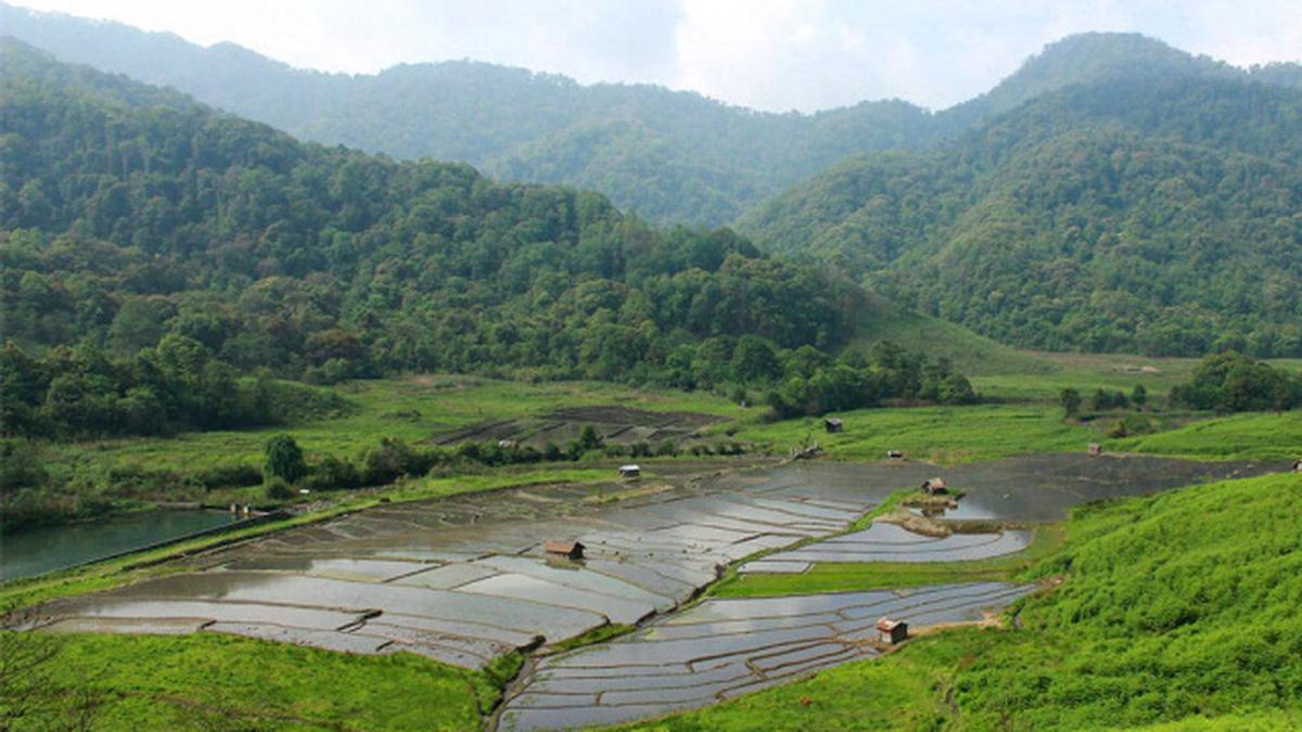
Nagaland’s Dzuleke is another small, deliberate journey from Kohima, reached by a rugged road with no assumed public transport. Stone paths, Angami houses, forest edge and rice fields make the village feel tactile before any “attraction” is named. Community conservation changed an erstwhile hunting landscape into a wildlife refuge, and official descriptions include birds, butterflies and rainbow trout in local streams.19 With a village-approved guide, I would walk quietly, stay on agreed paths and treat trout and wildlife as inhabitants, not entertainment. A meal of rice, garden produce, smoked meat or local fish can be arranged through a homestay; ask about chilli and seasonality, and never forage or fish.
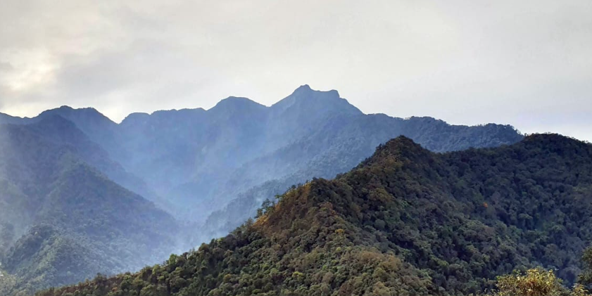
Mount Suro near Kigwema should be treated cautiously: an official parliamentary record verifies a tourism project, not a currently maintained trail or facilities. Confirm everything locally. Nagaland’s ILP/PAP rules also change, so use the government portal.
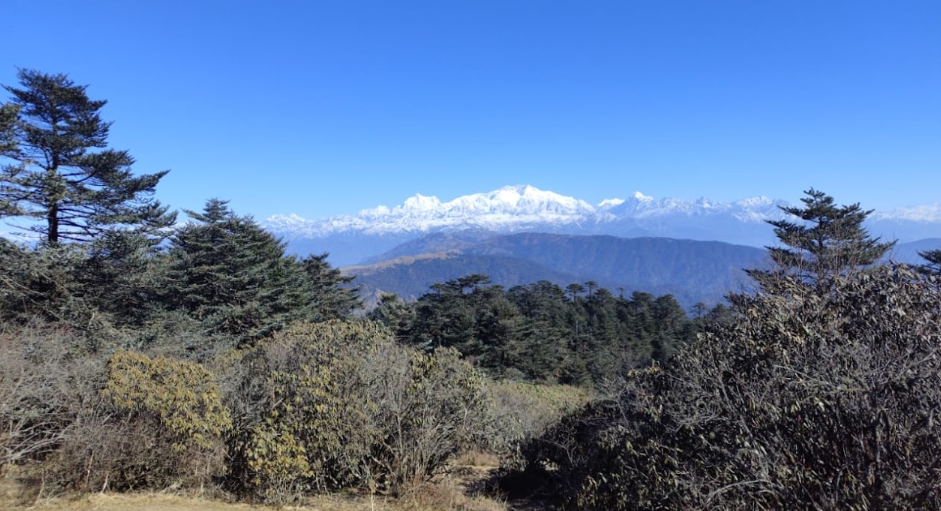
Finally, I would leave the high Himalayan views for a Sikkim–North Bengal arc. Rinchenpong offers forest, a monastery, short walks and agricultural quiet; a homestay can turn tea, greens and pickles into a conversation about season rather than a staged cooking class. Kalimpong adds the history of a wool-route town linked toward Tibet through Jelepla Pass. Its metal craft—bowls, lamps, ornaments and monastery work in copper, brass, iron, gold and silver—deserves direct buying and questions about provenance.20
Neora Valley National Park, with its rich forests and orchids, belongs to a guided forest-edge experience, not a wildlife guarantee. Spring and autumn usually bring clearer walking conditions, while rain can block roads. Across Rinchenpong and Kalimpong, a ground-floor room, a vehicle near trailheads and honest advice about steps may be more valuable than a grand view.
Leaving room for return
The best Northeast itinerary is not the one that covers the most pins. It is the one that leaves space for a ferry delayed by water, a loom explained at its own pace, a guide who asks us to stop photographing, or a road made slower by rain. I would divide the region into at least four trips, carry modest expectations and generous respect, and let comfort mean good timing, local knowledge, dry shoes and enough time to listen.